The Coast the NC500 Misses
At Inverness the famous route turns west and the traffic goes with it. The coast running east is five nights of harbours, forts and almost no driving.

David O4 min read
5 nights220 mi
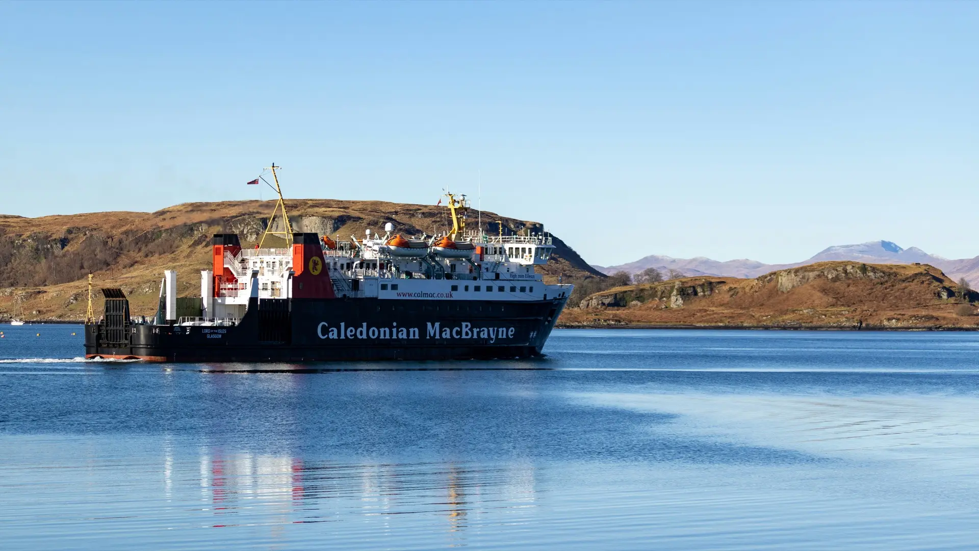
Open the planThe North Coast 500 is a five hundred and sixteen mile loop that begins and ends at Inverness Castle. It was assembled in 2015 out of roads that already existed, given a name, and it worked: the route now brings a volume of traffic to the north west Highlands that the single track lanes up there were not built to hold.
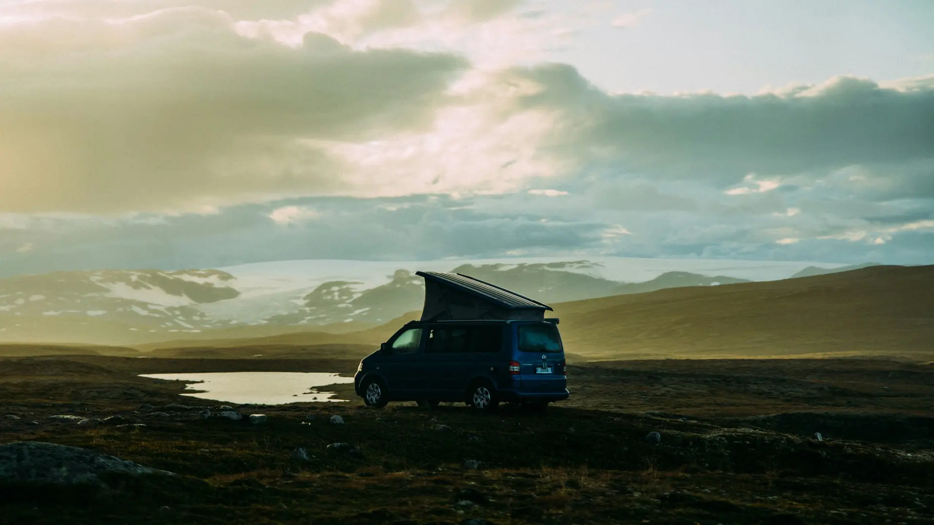
Almost all of that traffic leaves Inverness heading west. The coast on the other side, running east along the Moray Firth towards Fraserburgh, has harbours, Pictish forts, dolphins and the largest collection of lighthouse optics in Scotland, and it has approximately none of the campervans.
A named route decides where everybody goes
This is worth understanding as a general effect rather than a complaint about one road. Naming a route is one of the more powerful things you can do to a landscape. Before 2015 the north of Scotland was a place people went in various directions. Afterwards it was a thing you did, in a set order, in a set number of days, and the numbers changed dramatically.
The effect on everywhere adjacent is the opposite. A named loop absorbs the attention of everyone planning a first Scottish trip, and everything just outside it becomes quieter than it was, because the same people who would once have wandered are now following a line.
The Moray coast is the clearest example. It starts at the same castle. It is the other direction.
What is along it
The Black Isle first, which is not an island. Chanonry Point is one of the more reliable places in Britain to see bottlenose dolphins from dry land, close in on a rising tide. Fortrose has the remains of a thirteenth century cathedral in the middle of it. Inland from there, Rogie Falls is a waterfall trail through native woodland.
Further east the coast turns into working harbours and Pictish archaeology. Burghead sits on a promontory fort where carved stones have been found. Hopeman is a small harbour with boats still going out of it. At Findhorn the bay opens up next to Culbin Forest, which is itself an odd piece of history: the forest was planted on shifting sand dunes to stabilise them, after the sand buried an entire estate.
Inland at the eastern end, Bennachie is the hill everyone in Aberdeenshire climbs, with the Maiden Stone, a carved Pictish standing stone, on the road up to it. And Fraserburgh finishes it, where the Museum of Scottish Lighthouses is built around Kinnaird Head, with the largest collection of lighthouse equipment and optics in the country.
None of that requires queuing.
Five nights, two hundred and twenty miles
The version this comes from is Moray Coast Foothills, and the striking thing about it is how little driving there is.
Two hundred and twenty miles across six days, running from Inverness out to Fraserburgh. Two nights on the Black Isle at Rosemarkie, two at Findhorn, one inland near Insch for Bennachie, and it finishes on the coast at Fraserburgh rather than looping back.
The individual days are fifteen, fifty five, twenty five, twenty, sixty five and forty miles. There is no day on it that could reasonably be called a driving day. That is the actual difference between this and the famous loop: the NC500's five hundred and sixteen miles have to be covered, and covering them is most of what you do.
One practical note from the plan. The site at Rosemarkie is a Camping and Caravanning Club site, so you need membership or a guest pass. Worth knowing before you turn up.
Linear rather than looped
This route does not come back to where it started, and that is the right shape for it.
A loop exists to return you to your car, which matters enormously if you flew in and hired a van at Inverness airport, and matters very little if you drove up. Insisting on a loop means covering ground twice or taking a duller inland road home for the sake of tidiness.
Run east and finish at Fraserburgh and the drive south afterwards is down the east coast, which is a different set of country again rather than a repeat of the week.
The one thing to think about is where the trip ends relative to where you are going next, because a linear route needs the day after it to be planned properly rather than assumed.
When
This coast is drier than the west, noticeably so, and it is at its best from late spring through early autumn. The dolphins at Chanonry are around most of the year with summer the most reliable.
Autumn works well because the harbour villages are quiet and the light along that coast in September is genuinely worth being there for. Winter is bleak in a way some people specifically want and most do not.
The one thing not to do is treat it as a warm-up for the real Scottish trip further west. It is five nights on its own terms, and the fact that nobody else is doing it is a large part of the point.
Written from a plan
Open the Moray Coast Foothills plan, or make your own.
This note was written from a plan made in Quiet Route. Yours would be built around your van, your dates and your route.
Your first trip is free, then £28 a year. Full refund within 14 days if you bought on the web.